Biratnagar
The City That Shaped Modern Nepal
Industrial capital. Birthplace of democracy. Gateway to Everest. Capital of Koshi Province.
What is Project Birat?
Eastern Nepal deserves to be understood on its own terms.
Historically, "Nepal" often referred specifically to the Kathmandu Valley, home to ancient kingdoms like Kathmandu, Lalitpur, and Bhaktapur. Today, while local governments often enjoy higher public trust for addressing community needs, the full realization of federalist ideals is still unfinished.
To challenge this norm, we are leading an independent effort to build the most comprehensive, fact-checked digital profile of Koshi Province, starting with Biratnagar and expanding across eastern Nepal to Mount Everest.
We chose Koshi for its unmatched topographic and cultural diversity. We chose Biratnagar because no other non-capital city in Nepal has had a greater influence on the country’s political, industrial, cultural, and democratic journey.
This is a long-term independent project for public awareness, civic memory, and accountability.
The Heart of Eastern Nepal
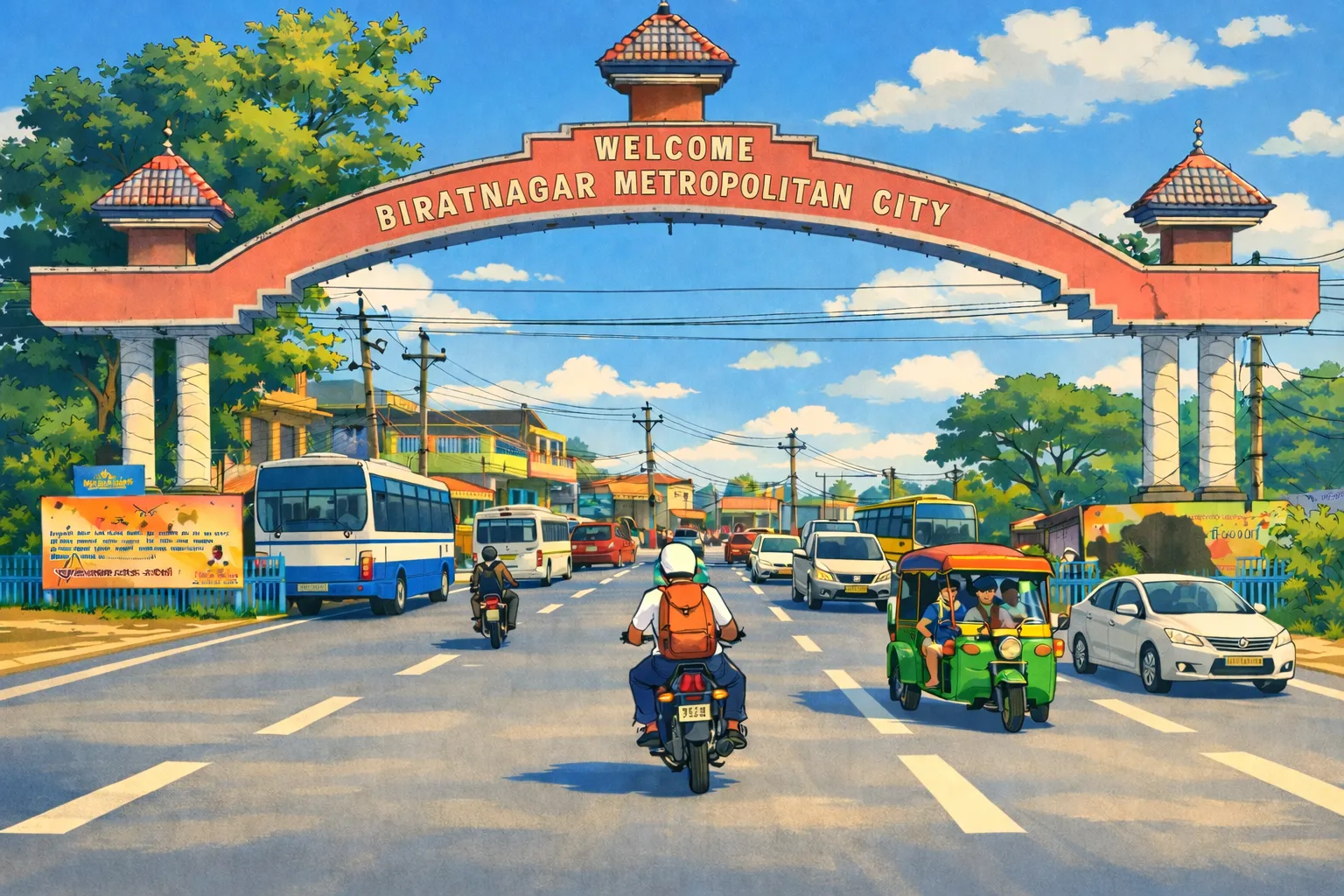
Biratnagar sits on the Terai plains of Morang District, 6 km from the Indian border at Jogbani — a geographic position that has made it Nepal's primary trade gateway to the east for over centuries. With a metropolitan population exceeding 270,000, it is the largest city in eastern Nepal and one of six metropolitan cities in the country.
As the capital of Koshi Province — which stretches from these very plains to the summit of Mount Everest at 8,849 m — Biratnagar serves as the administrative, economic, and political nerve centre of the entire east. At 72 m elevation, it has a subtropical monsoon climate: hot summers, heavy monsoon rains from June to September, and mild winters.
Economic, Cultural, and Geographical Significance
Known as the "Industrial Capital of Nepal," Biratnagar has been the cradle of Nepali industry since the Biratnagar Jute Mill was established in 1936. The Sunsari-Morang Industrial Corridor today hosts jute processing, steel, cement, textiles, and food manufacturing — the largest concentration of industry outside Kathmandu Valley.
Beyond industry, Biratnagar has produced more Prime Ministers than any city outside Kathmandu — including BP Koirala, Nepal's first democratically elected PM — and the 1947 jute mill strike here ignited the movement that ended 104 years of Rana autocracy. Its Maithili-Nepali cultural identity, festivals, and cuisine give the city a character distinct from the rest of Nepal.
Explore
History
From the 1936 jute mill to the 1950 revolution — how this city ignited Nepal's democracy.
ProfileProvince Profile
Demographics, human development, festivals, food culture, and the leaders who shaped Nepal.
DevelopmentInfrastructure
Airport terminal, Koshi Highway, rail corridor, and the projects transforming the city.
EconomyEconomy
Sunsari-Morang industrial corridor, investment summit, and eastern Nepal's business hub.
TravelTourism
Gateway to Koshi Tappu, Ilam, Lukla, Everest, Darjeeling, and Sikkim.
UpdatesNews
Latest coverage on infrastructure, economy, and development.
AccountabilityCommunity Issues
Report civic issues and track whether they get addressed or ignored.
Frequently Asked Questions
What is Biratnagar known for?
Where is Biratnagar located?
How to reach Biratnagar?
Is Biratnagar the capital of Koshi Province?
What is the economy of Biratnagar based on?
What is the history of Biratnagar?
What are the tourist attractions near Biratnagar?
How far is Biratnagar from the Chinese border?
What is the elevation and climate of Biratnagar?
What district is Biratnagar in?
Biratnagar's Story is Nepal's Story
The city that gave Nepal its first elected PM and fueled its industrial revolution.
Read the Full Story